Bolivia Custom Tour
The flatness seems infinite. The salt surface is splintered with low ridges of salt that divide the top layer into white cell-like formations. Like the deserts of my childhood, this is a land of mirages, of shimmering lakes and islands that appear then vanish in a blink. Cones of salt dot the surface in some areas. In shallow salt pools gather pale flamingos. Aymara legend says the Salar was formed by a woman whose tears mixed with milk. It tells the story of the surrounding mountains – Tunupa, Kusku, and Kusina – who were ancient giants. Tunupa married Kusku, but Kusku ran away from her with Kusina. A grieving Tunupa began to cry while feeding her son, and those are the tears that made the Salar.
Summer (Nov–Apr) is the rainy season, which can make the lowlands unpleasant, and road travel can become difficult. Climbing, trekkin,g and biking can be problematic. In addition, Feb-April is a time of many religious festivals, so some areas may be crowded. Oct–Nov is a good time to visit the Salar de Uyuni. May–Oct brings mostly sunny days throughout Bolivia, but cooler in higher altitudes such as the altiplano. This is a popular time of year.
“Designed Differently. Explored Sustainably.”

Share This Tour
Navigator Series
Bolivia
Price starts at $600-$800 Land per person, per day, double occupancy.
7
About Bolivia
Avaroa National Reserve: The formal name is the Eduardo Abaroa Andean Fauna National Reserve, and it sits in the Potosi region in the far southwestern region of Bolivia. It is the country’s most visited and important protected area. At an altitude between 4,200 m/13,800 ft. and 5,400 m/17,700 ft., it extends over a large area that includes the Laguna Colorada National Wildlife Sanctuary. It supports birds including three species of flamingos: James’s, Chilean and Andean; the latter being the rarest flamingo in the world. The reserve protects part of the Central Andean dry puna ecoregion. The attractions are erupting volcanoes, hot springs, geysers, lakes, fumaroles, mountains.
Bolivia Antiplano: Most of this vast region sits inside Bolivia but smaller sections are in Peru, Chile and Argentina. This remote locale is the widest part of the Andes, and remains one of the most pristine and awe-inspiring places on earth. Several pre-Columbian cultures, including the Chiripa, Tiawanaku and the Inca Empire, occupied the Altiplano at various times. Spain conquered the region in the 16th century. Far-flung camps, the Sol de Manana, a geothermal field, salt pans, wetlands and lagoons offer exceptional adventures. This high-altitude region is landscaped with old mines, small villages and archeological sites as well as dramatic valleys, boundless plains, a cactus forest, caves filled with surprising geological formations and a massive plain of salt – the Salar de Uyuni. At an altitude of 3,665 m/12,024 ft., the Salar is the largest and highest salt pan on the planet. The Tunupa Volcano is clothed in shades of red, orange and yellow from volcanic minerals in the soil. Here, most of the best hiking trails remain uncrowded.
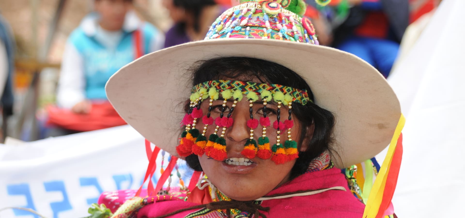
Copacabana: Before 1534, Copacabana was one of dozens of Inca outposts in Bolivia. The Incas held it as the key to the very ancient shrine and oracle on the Island of Titicaca, which they had adopted as a place of worship and veneration first held by the ancient Aymaras. Minor shrines were used to hold ceremonies of the Incas along with those of the original inhabitants. When the Spaniards first visited the Islands of Titicaca and Loati, in 1534 and then in 1538, the Dominicans made Copacabana the center of their mission work. Non-monastic priests then replaced them at the instigation of the Viceroy Francisco de Toledo, and finally the mission and its annexes were entrusted to the Augustinians in 1589. Copacabana is the main Bolivian town on the shore of Lake Titicaca. The large 16th-century shrine, the Basilica of Our Lady of Copacabana, is the patron saint of Bolivia. The town is also acknowledged for its trout fishing and quaint atmosphere. Copacabana’s religious celebrations, cultural patrimony, and traditional festivals are well known throughout Bolivia.
Kaa Iya National Park: Kaa Iya National Park was created by the indigenous groups of the area, and this park is unique in that it is the only one in the Americas that was established and is administrated by indigenous people. The park is comprised of chaco forests, which is a dry tropical woodland. It is part of the great Gran Chaco, a forest system that is second largest forested area after the Amazon. Kaa Iya National Park has a variety of ecosystems, including dry savannas, seasonally flooded wetlands, mountains and valleys. This park is known for healthy populations of jaguars, pumas, tapirs, giant armadillos, guanaco and as well as some 300 species of birds. This is the best area in Bolivia for big mammal sightings. Over 880 species of vascular plants have been recorded here, 1,500 higher plants and 28 species of spore plants.
La Paz: La Paz is the highest administrative capital in the world, resting on the Andes’ Altiplano plateau at more than 3,500 m/11,483 ft. It stretches to the city of El Alto in the highlands, with snow-capped Mt. Illimani as a backdrop. The city’s dramatic setting can be taken in from the aerial cable car system. It is an important cultural center for the country and for Latin America. Colonial landmarks include the Palacio Quemado, the presidential palace, San Francisco Church, Metropolitan Cathedral, Plaza Murillo and Jaen Street. The city is renowned for its unique markets, particularly the Witches’ Market, and for its vibrant nightlife. This area was originally the site of an Incan city as this was a major trading route. The Spanish conquistadors entered the area in 1535, but did not formally establish La Paz until 1548. The town site was moved to its present location in the valley of Chuquiago.
Potosi: Potosí is a city in the southern highlands of Bolivia. Its long mining history is on view at Cerro Rico, a mountain and working silver mine south of the city. Potosí’s former mint, the central Casa Nacional de la Moneda, is now a museum dedicated to Bolivian art and history. Next to the mint, Plaza 10 de Noviembre is a square lined with ornate colonial buildings, including the cathedral.
Salar de Uyuni: Salar de Uyuni is the world’s largest salt flat at 10,582 sq. km/4,086 sq. mi. It is in the Daniel Campos Province in Potosí in southwest Bolivia, near the crest of the Andes at an elevation of 3,656 m/11,995 ft. The dramatic Salar formed between several prehistoric lakes. It is covered by a thick crust of salt. The land is extraordinarily flat with the average elevation variations within one meter over the entire surface of the Salar. The crust is a source of salt and covers a pool of brine, which is exceptionally rich in lithium. In fact, it contains 50% to 70% of the world’s known lithium reserves, which is in the process of being extracted. The large area, the remarkably clear skies, and exceptional flatness of the Salar make it ideal for calibrating the altimeters of Earth observation satellites. The Salar serves as the major transport route across the Bolivian Altiplano and is a primary breeding ground for several species of flamingos. Salar de Uyuni is also a climatological transitional zone.
Santa Cruz de la Sierra: Santa Cruz de la Sierra is Bolivia’s commercial hub on the Pirai River in the tropical lowlands east of the Andes Mountains. It is also a cosmopolitan center for museums, restaurants and nightclubs. Its historic core is anchored by the rose-brick Metropolitan Cathedral on Plaza 24 de Septiembre, the central square. Santa Cruz and its metropolitan area are home to more than 70% of the population of the department, and it is one of the fastest-growing cities in the world. First founded in 1561, Santa Cruz was for most of its history a small outpost until after the middle of the 20th century when strong agrarian and land reforms created conditions for the city to grow quickly. Serranías Chiquitanas are a group of low mountain ranges northeast of Santa Cruz. They stand out of the surrounding lowlands as a series of forested hills, some with escarpments that run northwest to southeast.
Santiago de Chiquitanos Mission: In the 16th century, priests of different religious orders set out to bring Christianity to indigenous communities. Between 1691 and 1760, 11 missions were founded in the Santa Cruz area, and are distinguished by a unique fusion of European and Amerindian cultural influences. A group of six of the remaining former missions were designated as a UNESCO World Heritage Site. They lie in an area near the Gran Chaco, east and northeast of Santa Cruz, between the Paraguay and Guapay rivers. Three other former Jesuit missions – San Juan Bautista (now in ruins), Santo Corazon and Santiago de Chiquitos are east of San Jose de Chiquitos not far from the town of Robore. San Ignacio de Velasco was also founded as a Jesuit mission but is not eligible for UNESCO inclusion because the current church is a reconstruction, not a restoration. The Chiquitano are an indigenous people of Bolivia and primarily live in the Chiquitania tropical savanna of Santa Cruz Department. In the 2001 census, self-identified Chiquitanos made up 3.6% of the total Bolivian population, the largest number of any lowland ethnic group. A relatively small proportion of Bolivian Chiquitanos speak the Chiquitano language. Many reported to the census that they neither speak the language nor learned it as children. The Chiquitano ethnicity emerged among socially and linguistically diverse populations required to speak a common language by the Jesuit Missions of Chiquitos.
Sucre: Founded 1538, Sucre, in the southern highlands, is the constitutional capital of Bolivia, and the sixth most populated city in the country. The whitewashed Casa de la Libertad, where Bolivia’s Declaration of Independence was signed, houses galleries related to the city’s past as the national capital. Also on Plaza 25 de Mayo, the main square, is the Catedral Metropolitana, an ornate colonial church. Nearby, the Museo Universitario Charcas features religious artifacts and contemporary art. Sucre lies at an elevation of 2,810 m/9,214 ft., and has a cool temperate climate. Sucre’s city center features narrow streets organized in a grid, reflecting the Andalusian culture that is embodied in the architecture of the city’s great houses and numerous convents and churches.
Suggested Itinerary
Day 1: Santa Cruz de la Sierra
Santa Cruz is Bolivia’s most populous city, and the preferred gateway into Bolivia.
Day 2: Santa Cruz de la Sierra / Kaa Iya National Park
The unique park was created by the indigenous groups of the area, who administer it today.
Day 3: Kaa Iya National Park
The national park has one of the most diverse array of mammals in South America, with black howler monkeys, giant armadillos, maned wolves, pumas, tapirs, snakes, ocelots and 300 bird species.
Day 4: Kaa Iya National Park / Santiago de Chiquitanos Mission
Chiquitos is one a group of 16th-century missions left by Jesuits missionaries, who came to convert all they came across.
Day 5: Santiago de Chiquitanos Mission / Santa Cruz de la Sierra / Sucre
The indigenous Chiquitano people live in the Chiquitania tropical savanna of Santa Cruz. Colonial Sucre with its winding streets and carved balconies presents much to discover.
Day 6: Sucre / Potosi
The Royal Mint is an important mining center, and was the world’s largest industrial complex in the 16th century.
Day 7: Potosi / Salar de Uyuni
Salar de Uyuni is the world’s largest salt flat and one of the most stunning locations to watch the sun set.
Day 8: Salar de Uyuni
The remarkable and fascinating salt flats are home to lagoons, salt mountains and flamingos.
Day 9: Uyuni / Avaroa National Reserve
The reserve features erupting volcanoes, hot springs, geysers, lakes, fumaroles and mountains.
Day 10: Avaroa National Reserve
Laguna Colorada National Wildlife Sanctuary, which supports three species of flamingos, is a highlight of the reserve.
Day 11: Avaroa National Reserve / Depart
Custom Options
Copacabana (2 days)
Copacabana sits on the shores of Titicaca Lake, and was an ancient outpost of Inca occupation. Sol y La Luna Island features Tiahuanaco Archaeological site with its Virgen de la Candelaria Sculpture.
La Paz (2 days)
An important cultural center for the country and for Latin America, the city is renowned for its unique markets, particularly the Witches’ Market, and for its vibrant nightlife.
Land only, Double Occupancy: Per person per day. $600.00 – $800.00 USD


 Pinterest